
Projects
-

Flat Bush: 40 Lot Subdivision
We took care of the full Land Transfer Survey turning the underlying lot into 40 new residential lots along with three new roads to service them. Completing the 223 compliance and lodging the survey with Land Information New Zealand for survey approval to ensure the quick release of titles could be achieved for our client.
-

Papakura: Fee Simple and Unit Title Development
Completing all the Land Transfer surveys for a two-stage development consisting of 8 fee simple lots as part of stage 1 along with stage 2 consisting of a unit title development with eleven units.
-

Hobsonville: Building Setout and Council Compliance
Completing all setout work providing the contractors with an accurate location of the foundations to ensure the buildings are positioned as per the approved consented plans. All foundations were checked once poured allowing for siting certificates to be issued signed by our Licensed Cadastral Surveyor as per council requirements.
-

Kohimarama: Cross Lease Conversion Survey
Converting cross lease to fee simple surveys are a great way to add value to your property. We completed a cross lease conversion on this property completing the initial site surveys all the way to getting the land transfer surveys approved with Land Information New Zealand which allowed for the issue of two new fee simple titles.
-

Glen Innes: Building Setout and Council Compliance
Completing all foundation setout for this 14-lot development completing compliance surveys for height in relation to boundary and siting the location of the foundations all signed by a Licensed Cadastral Surveyor.
-
Waiheke Island: Boundary Redefinition Survey
We headed over to Waiheke to take care of a boundary redefinition survey of a property that was last surveyed in 1922 which proved to be a good challenge. With a full day searching for old marks and with good success we were able to get the site pegged in time before the ferry left without us.
-

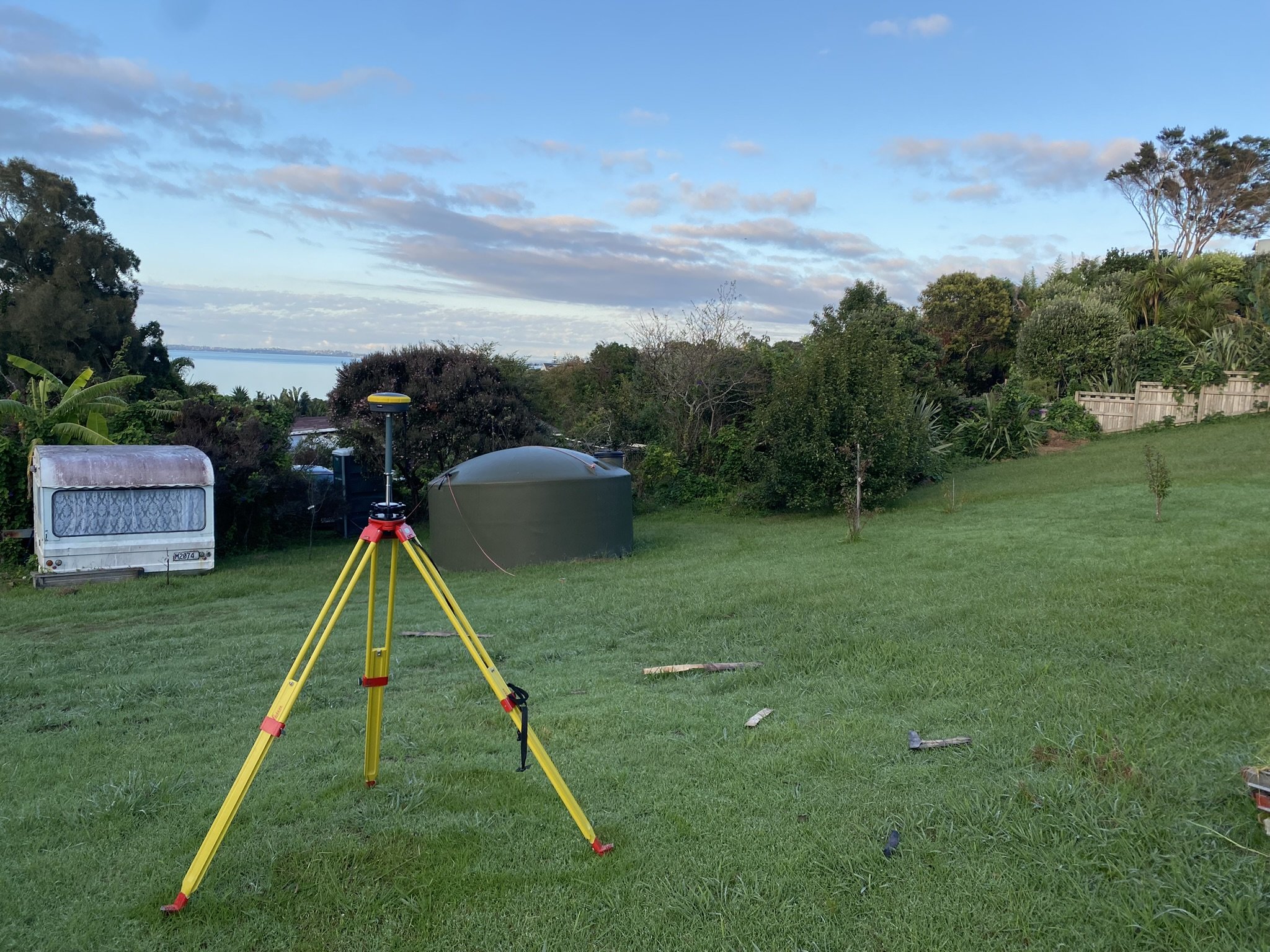
Meadowbank: Topographical Survey
We completed a topographical survey to this property to allow for architects and engineers to work from accurate data when designing the proposed extension. This is a crucial part of any job to ensure that quality reliable data is used to prevent issues as the project progresses.
-

Alfriston 50 Lot high density subdivision
We took care of the full Land Transfer process on this site turning the initial large single lot into 50 new residential lots including vesting a new road, multiple jointly owned accessways and a large number of easements to allow for maintenance and protecting the property owners’ rights going forward.